


NEW: 2017 Arlington County Bicycle Comfort Level Map


The new 2017 Comfort Map has arrived, which marks the most comfortable and safe streets for biking throughout the county.
This post originally appeared on Mobility Lab – October 27, 2016.
This week, BikeArlington unveiled its 2017 edition of the Arlington Bicycle Comfort Level Map, which marks the most comfortable and safe streets for biking throughout the county.

Map changes
The new map is an update to the comfort map BikeArlington first debuted last year. The 2017 version was largely informed through resident suggestions, as well as input from D.C.-area bicyclists who routinely ride through the county on their commutes. (A BikeArlington forum post about the original map racked up 125 responses and suggestions across 11 pages.)
Many of these responses led to design changes that make the map easier to read at a glance. While most of these are are subtle, the largest switch is the color format:
- wide green lines are now the most comfortable
- medium blue lines are somewhat comfortable, and
- lighter orange lines are least comfortable.
- More dangerous, highway-like streets have also been recolored from black to a less attention-grabbing gray so that readers don’t consider them when looking for biking routes.

Rather than noting every kind of bike infrastructure, from sharrows to protected lanes, the map takes a more holistic look at the street-level experience of riding them.
“A busy street with just painted bike lanes might be suitable for some riders, but its traffic conditions might still be a barrier for others,” BikeArlington Operations Manager Tim Kelley said. “The comfort map makes bike-friendly alternative routes, like a quiet neighborhood street, more visible to riders, regardless of the available bike infrastructure.
Bike lanes and multi-use trails are still noted through outlines and dots, but the overall focus remains the comfort color scheme. With a quick glance at the prominent green and blue routes, bicyclists of any skill level should be able to chart an easy route to their destination, avoiding stressful barriers that might inhibit some people from riding.
Order the map
The map is currently available online here [PDF], and a printed version will be available in coming weeks from Commuter Stores and other Arlington locations. A free printed map can be requested online here.
BikeArlington is soliciting feedback on the new map – interested riders can head to the BikeArlington forum and chime in with their thoughts.
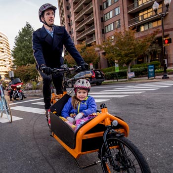
Sam Kittner/Kittner.com
Comments are closed here.
To prevent spam, comments will be approved before appearing on the post. If you have a comment or question, but do not want it to be published, please email BikeArlington.