


April 23, 2024
A Bike Mirror Can Help You See Yourself Riding More Confidently

For many years, I did most of my biking on Arlington trails. When I first started bike commuting more than ten years ago, I could...

For many years, I did most of my biking on Arlington trails. When I first started bike commuting more than ten years ago, I could...

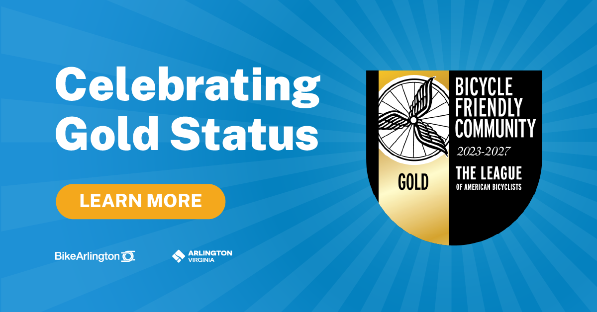
Our Active Transportation team is energized this week after receiving word that Arlington has been named a Gold Bicycle Friendly Community by the League of...
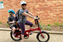
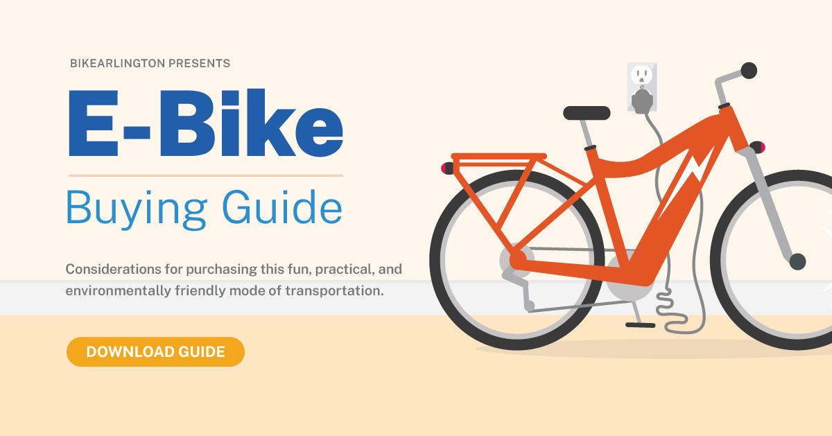
Have you been considering an e-bike but need a little convincing? No urgent need or desire to change your routine? Hard to justify the cost? Lack...